Giochi dell'Oca e di percorso
(by Luigi Ciompi & Adrian Seville)
(by Luigi Ciompi & Adrian Seville)
|
Giochi dell'Oca e di percorso
(by Luigi Ciompi & Adrian Seville) |
|
|
 |
Torna alla ricerca giochi (back to game search) |
 |
| Tour (A) through the British Colonies and foreign possessions | ||
 |
Versione stampabile
 |
Invia una segnalazione

|
                     |
primo autore: | Anonimo |
| secondo autore: | Betts John (R. B.) | |
| anno: | 1853/5ca | |
| luogo: |
Inghilterra-Londra |
|
| periodo: | XIX secolo (3°/4) | |
| percorso: | Percorso di 37 caselle numerate | |
| materiale: | carta incollata su tela (engraving on paper with linen backing) | |
| dimensioni: | 622X502 | |
| stampa: | Litografia colorata a mano (hand-coloured lithograph) | |
| luogo acquisto: | ||
| data acquisto: | ||
| dimensioni confezione: | ||
| numero caselle: | 37 | |
| categoria: | Viaggi, escursioni, località, musei, monumenti, turismo | |
| tipo di gioco: | Gioco di percorso | |
| editore: | Betts John 115 Strand London | |
| stampatore: | Betts John 115 Strand London | |
| proprietario: | Collezione E. C.&A. Seville | |
| autore delle foto: | E. C. - A. Seville | |
| numero di catalogo: | 1279 | |
| descrizione: |
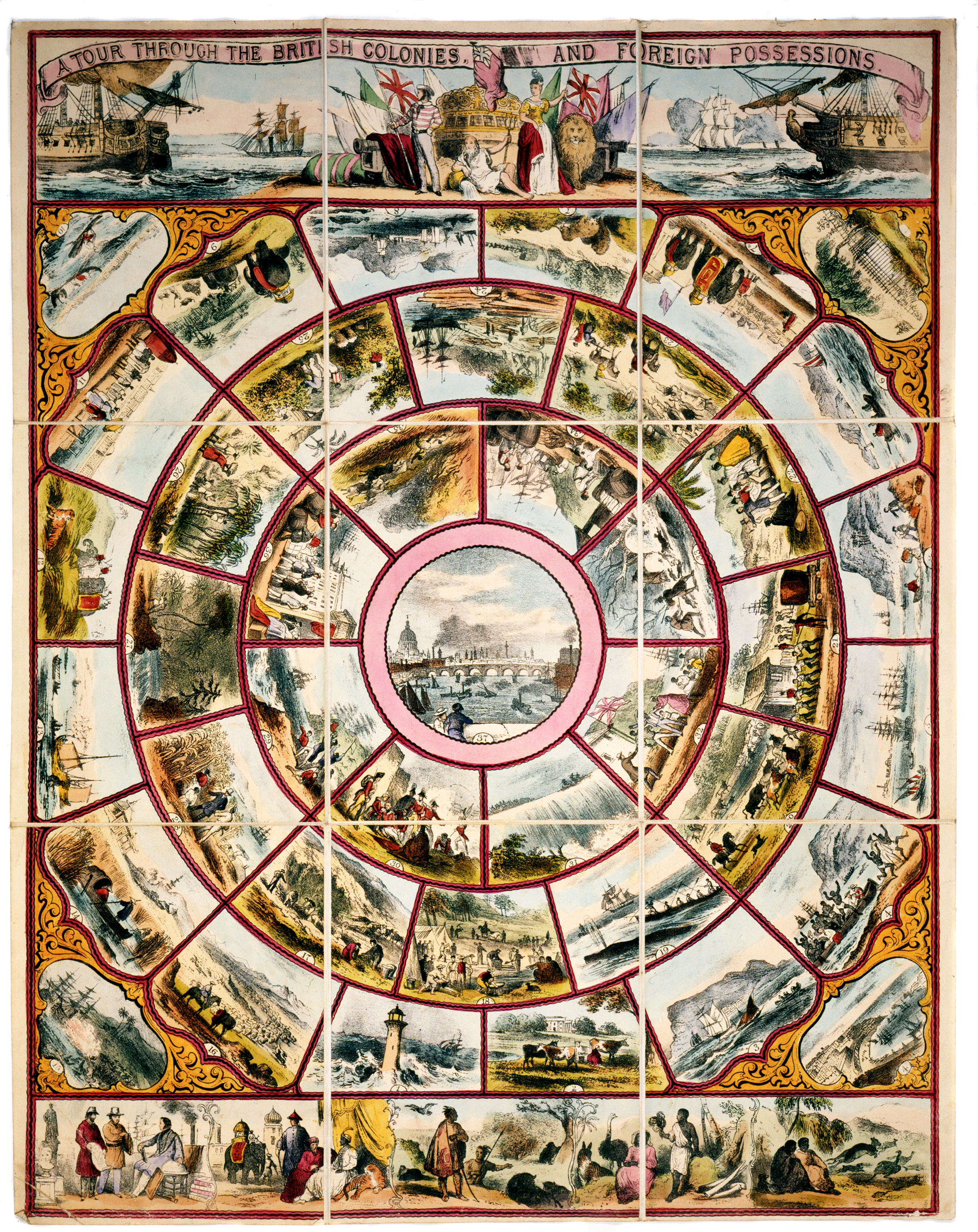
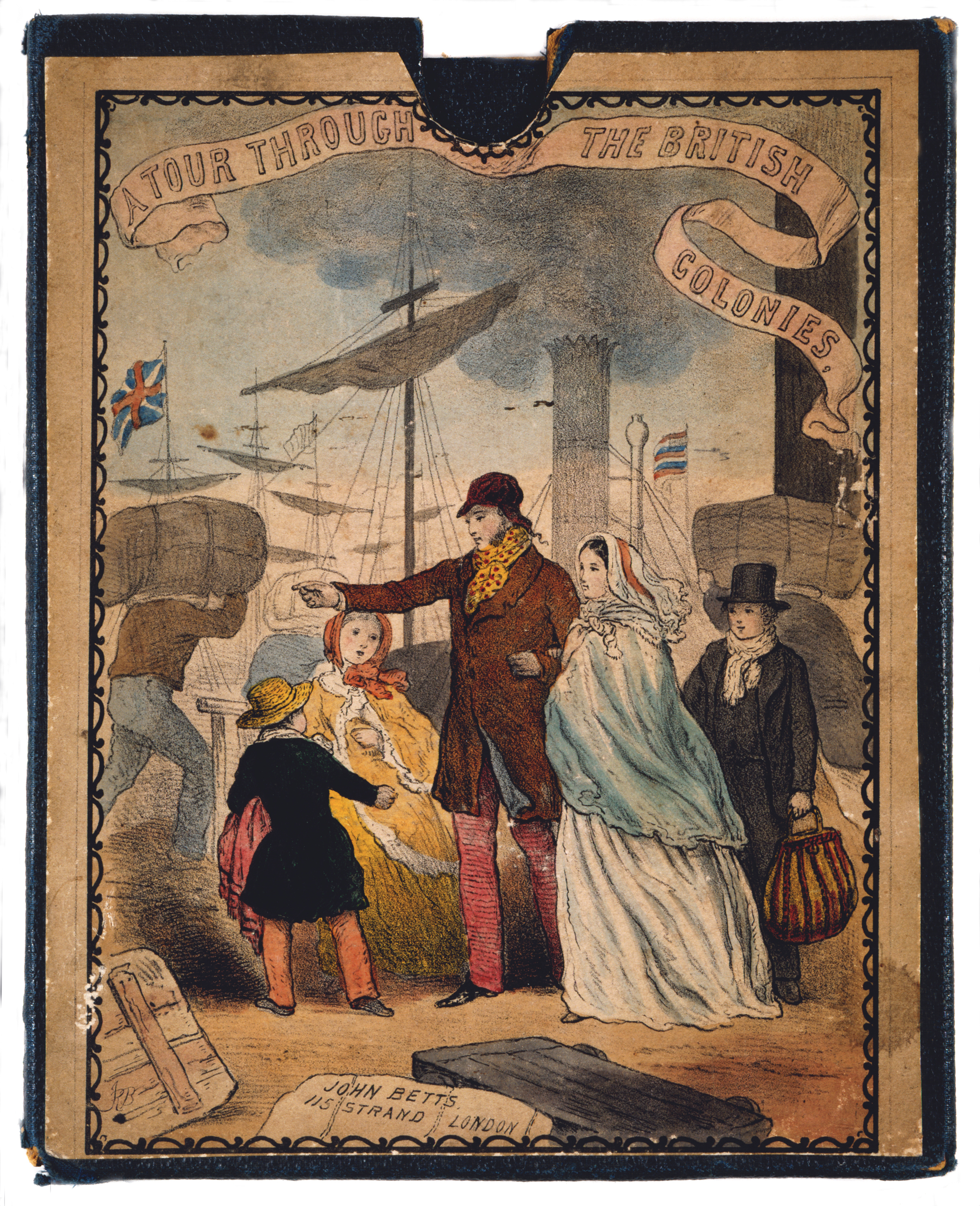
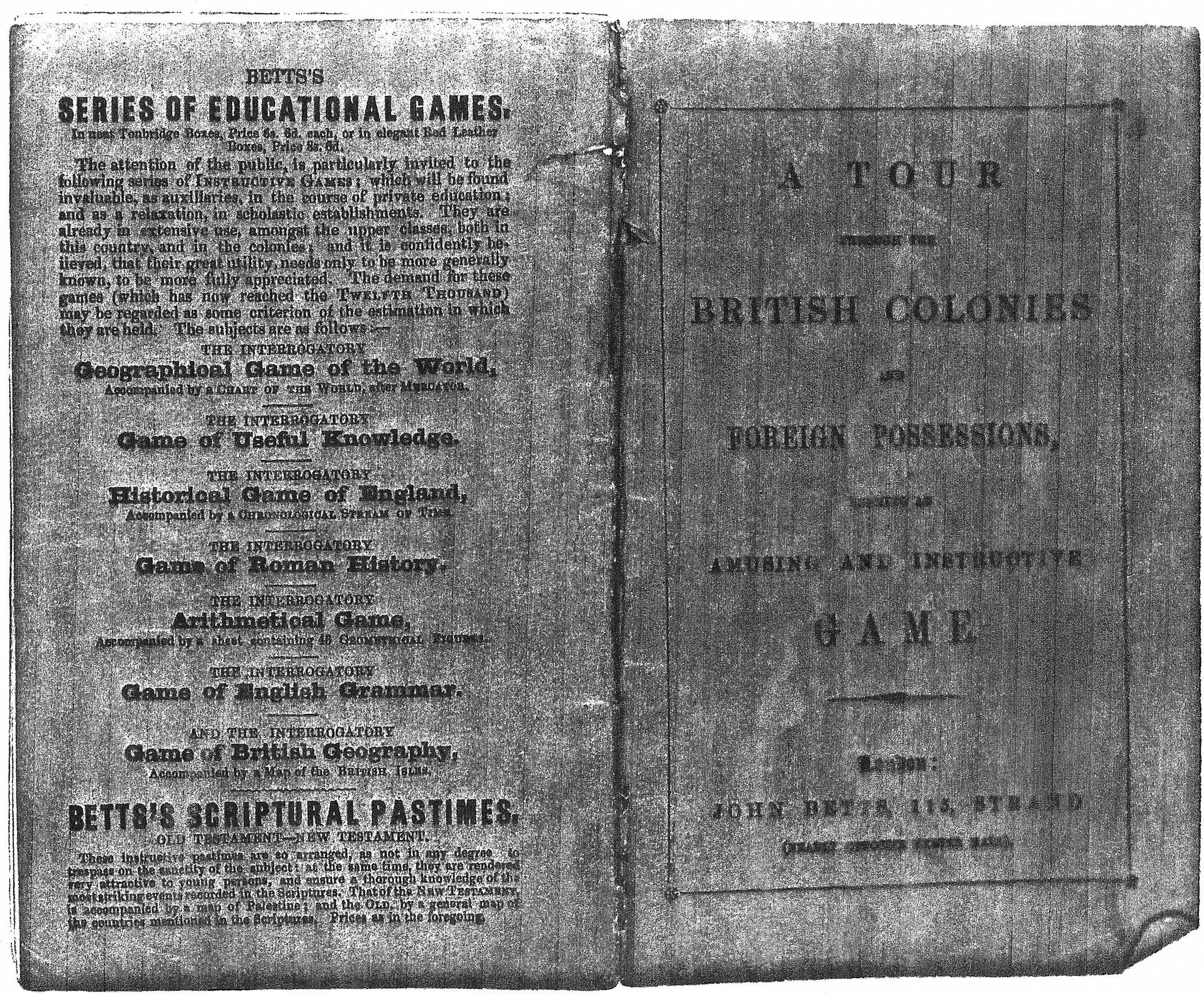
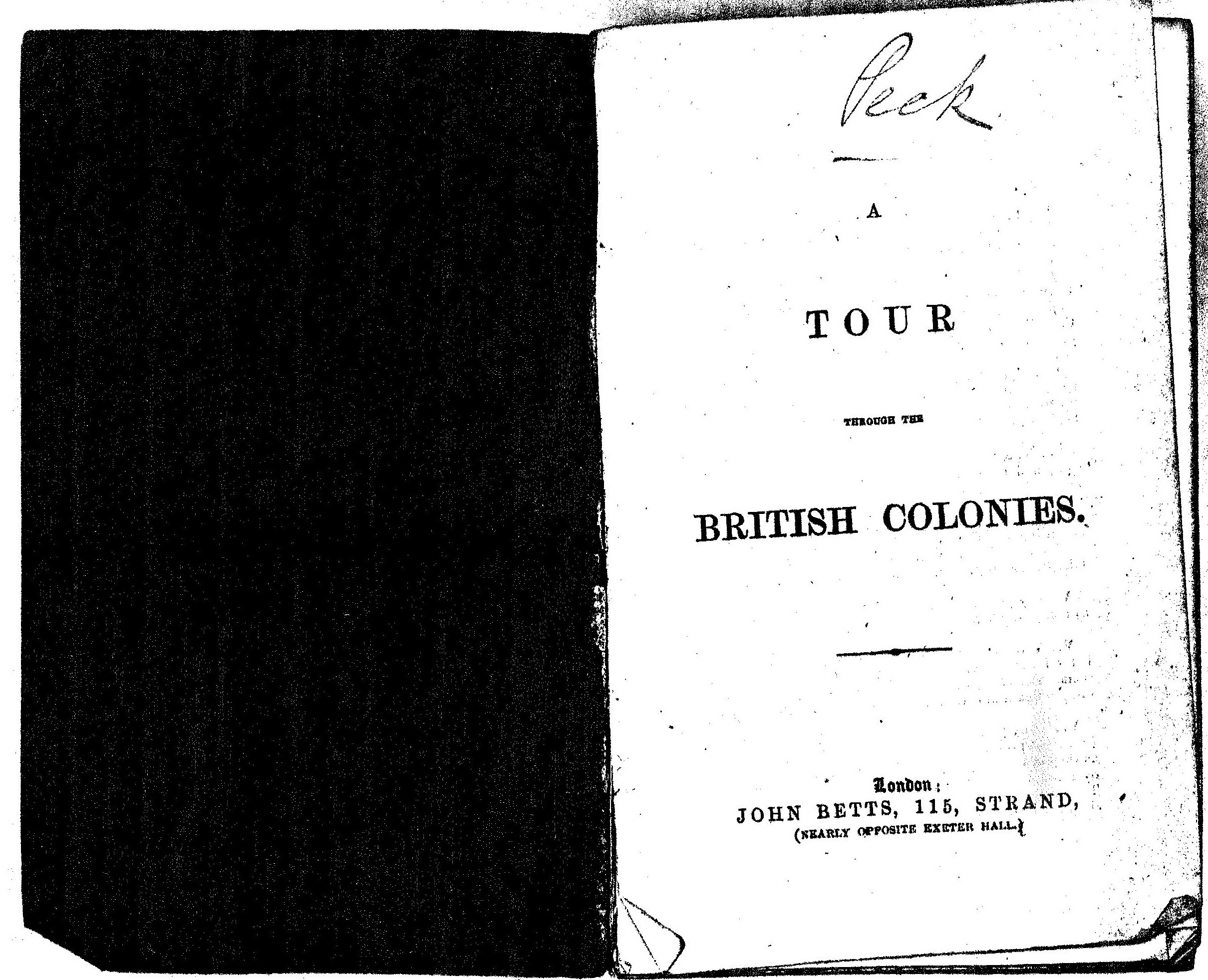
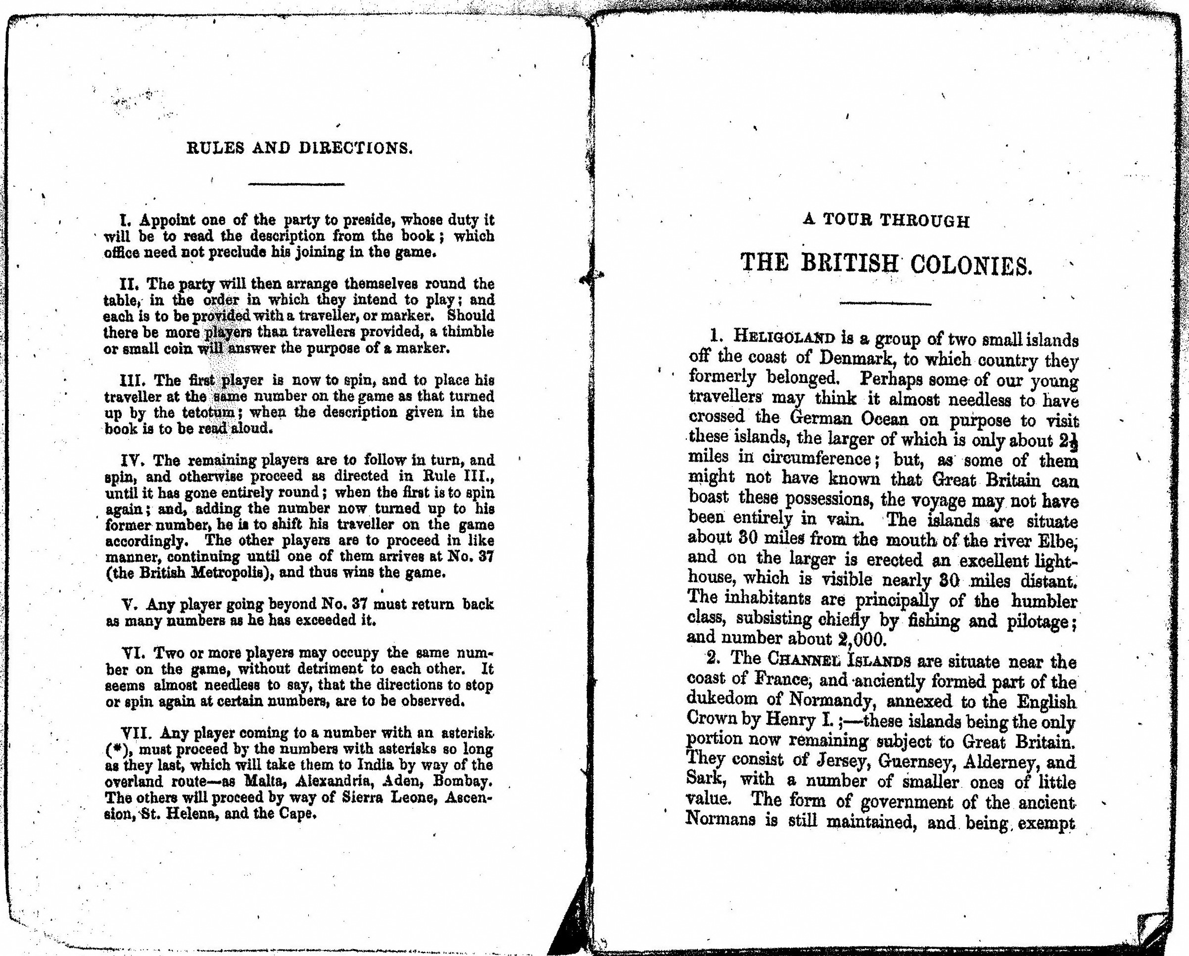
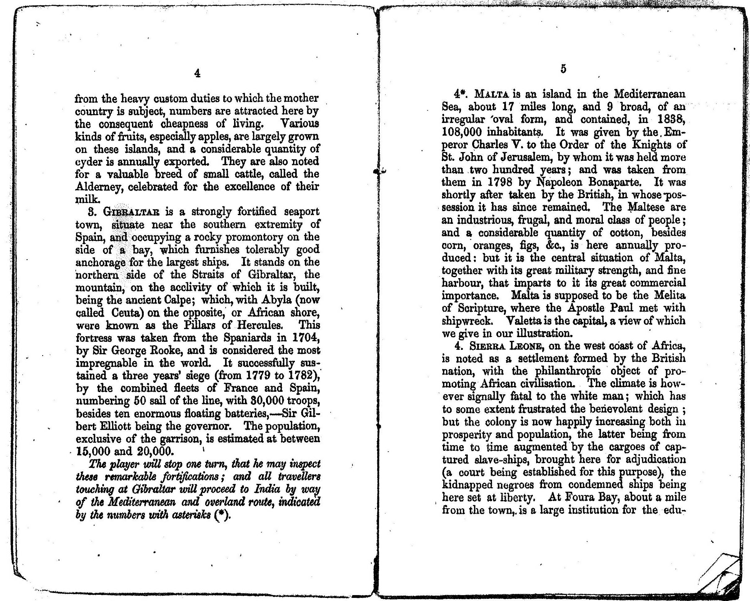
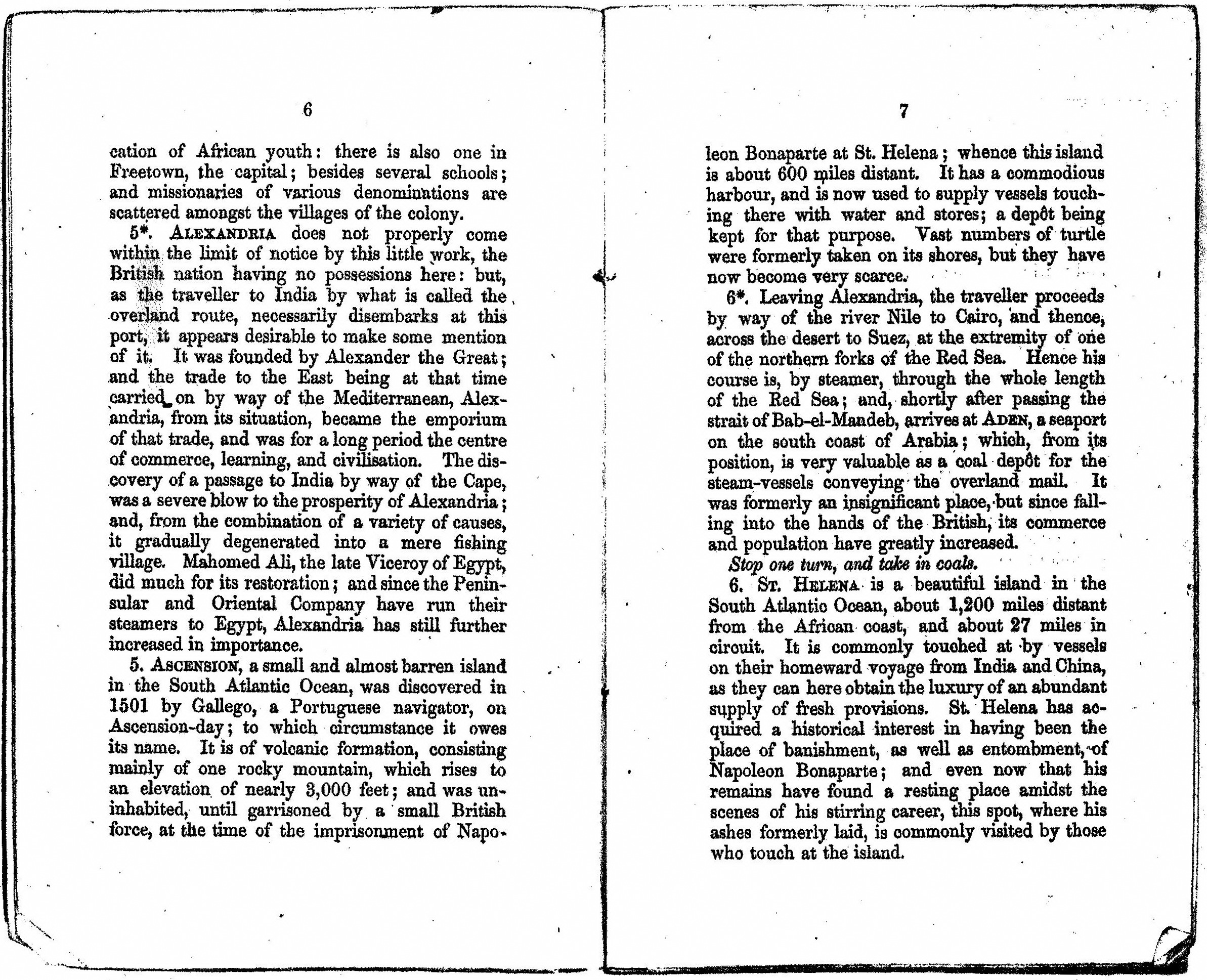
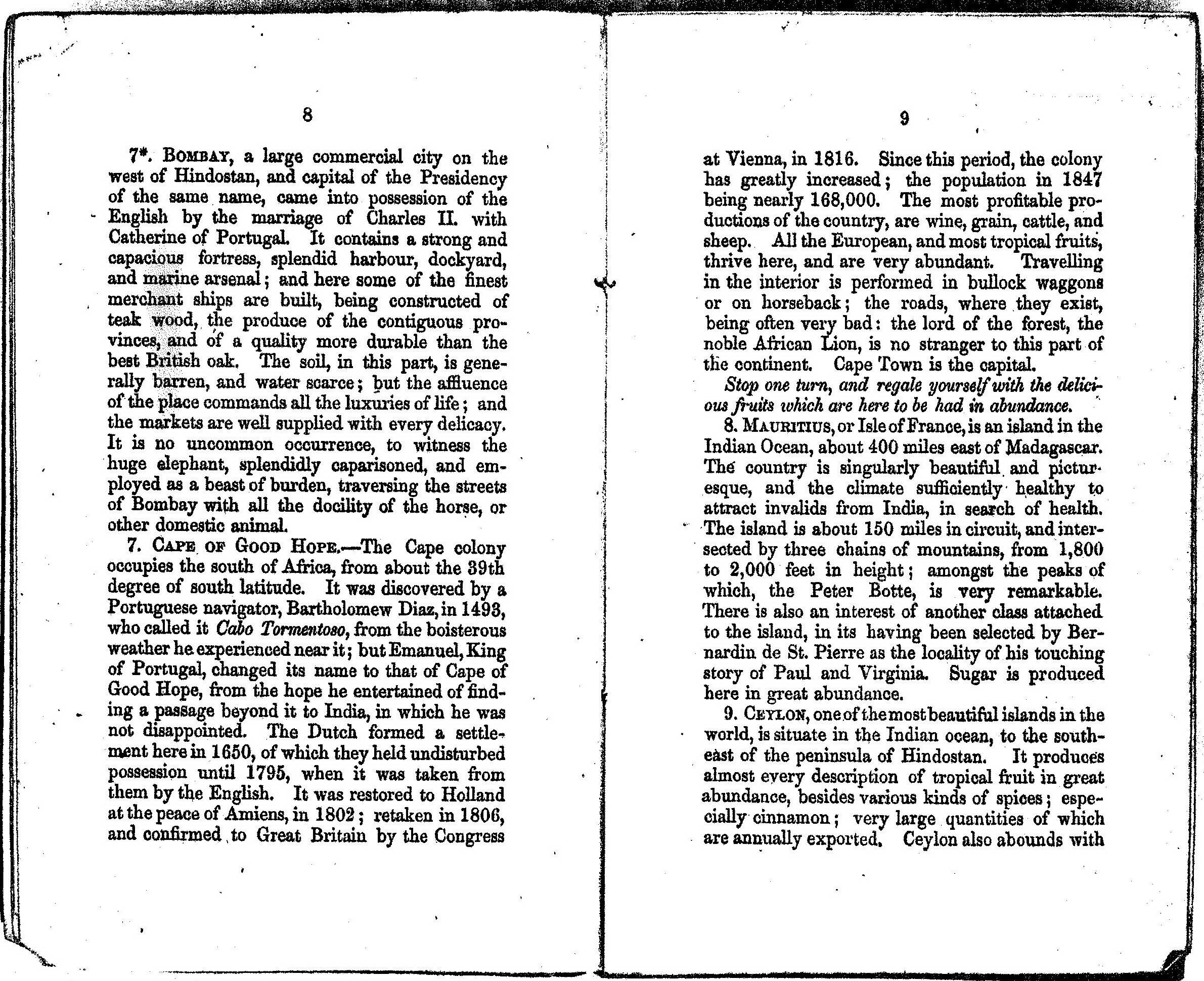
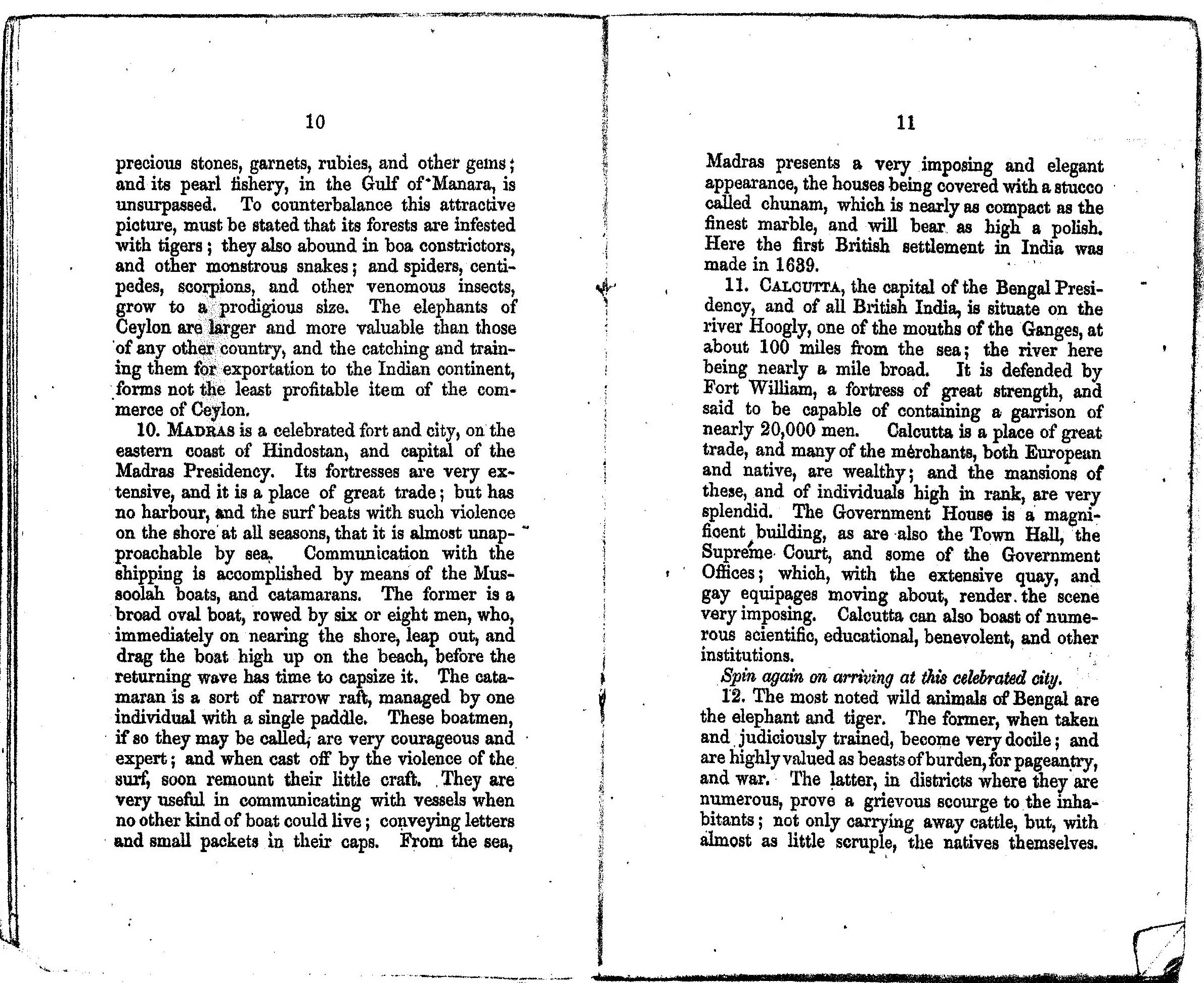
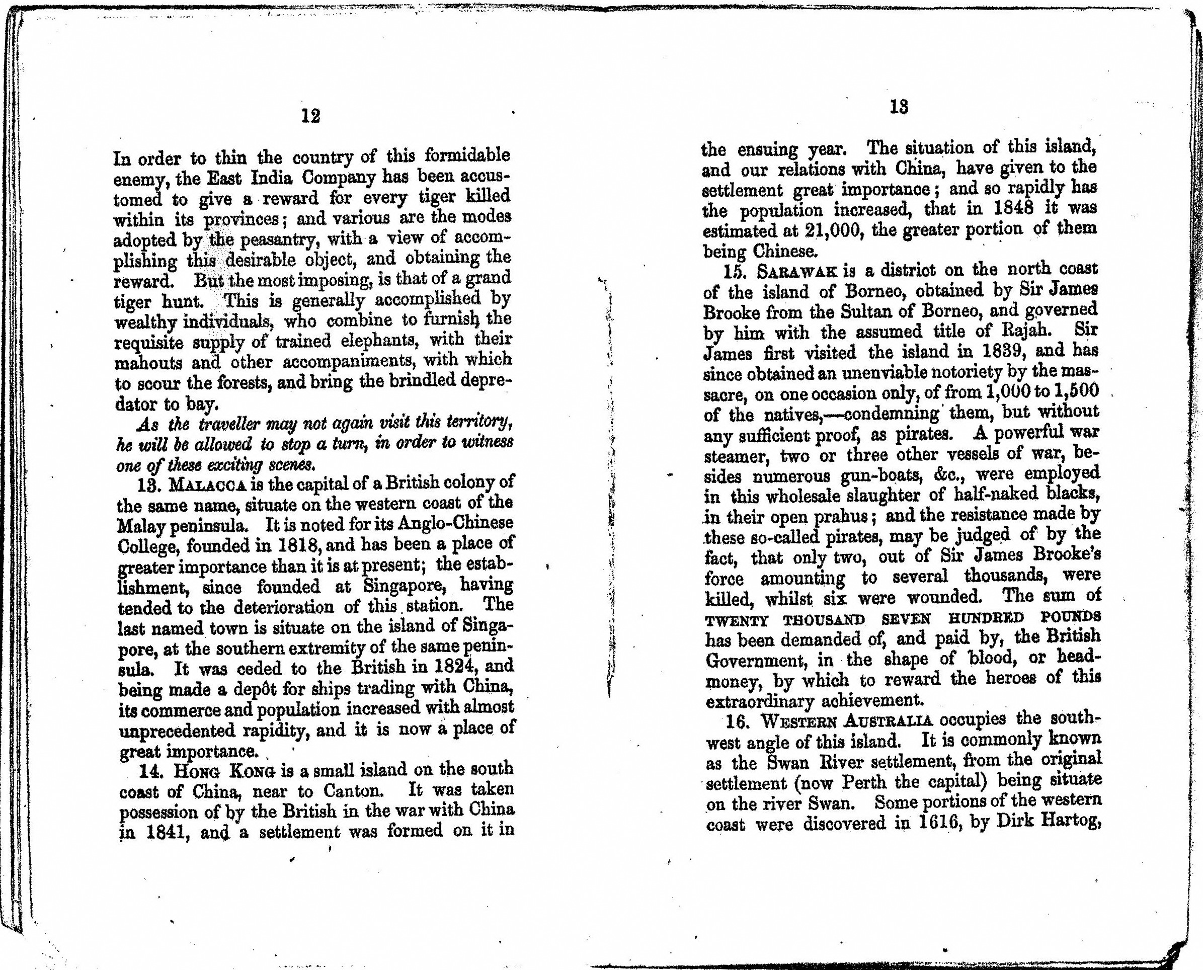
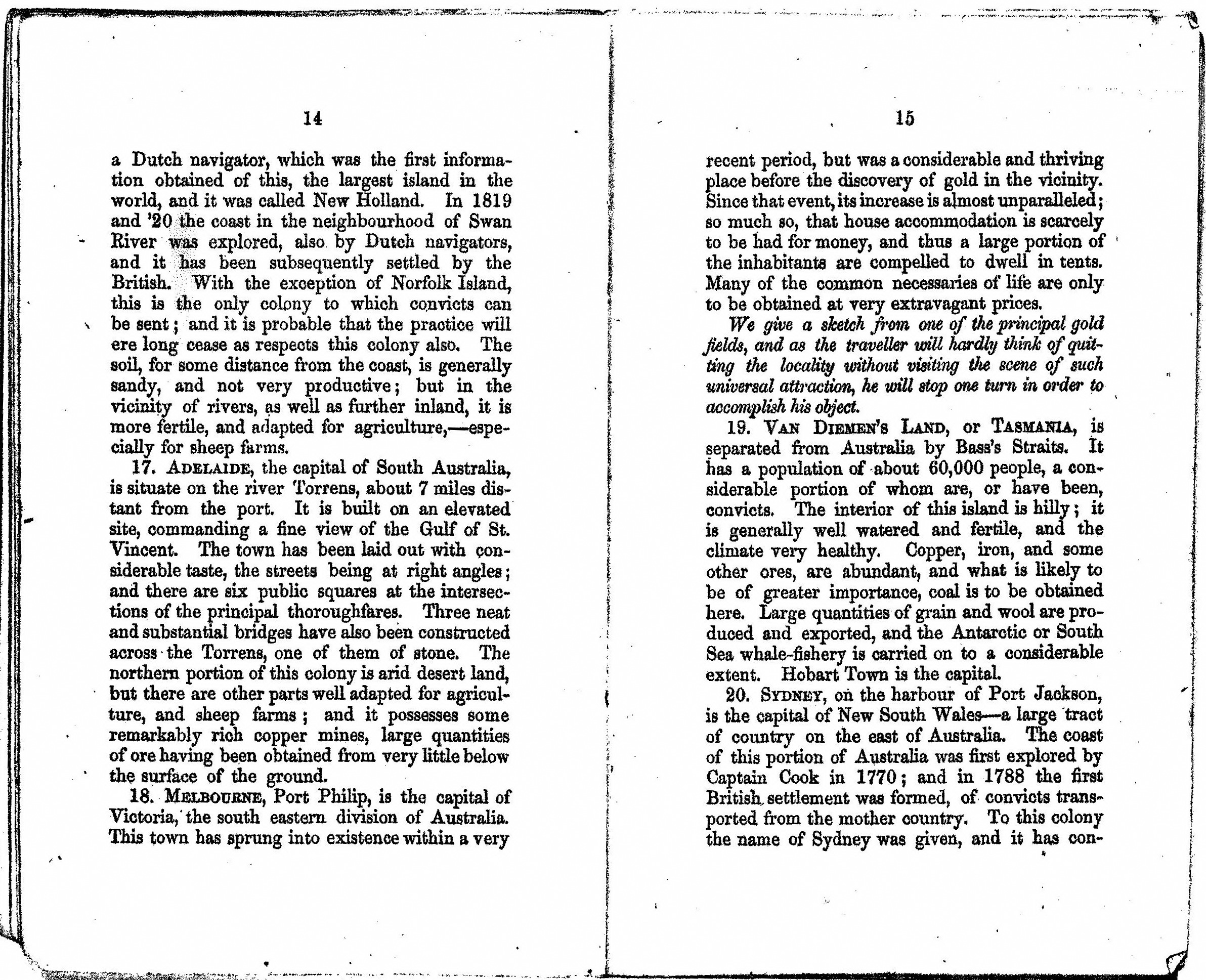
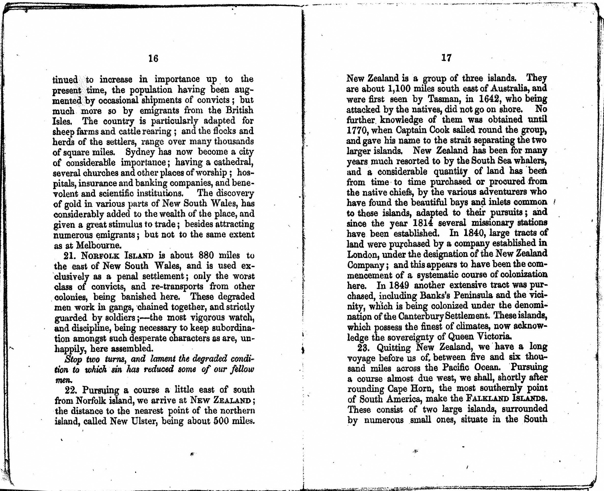
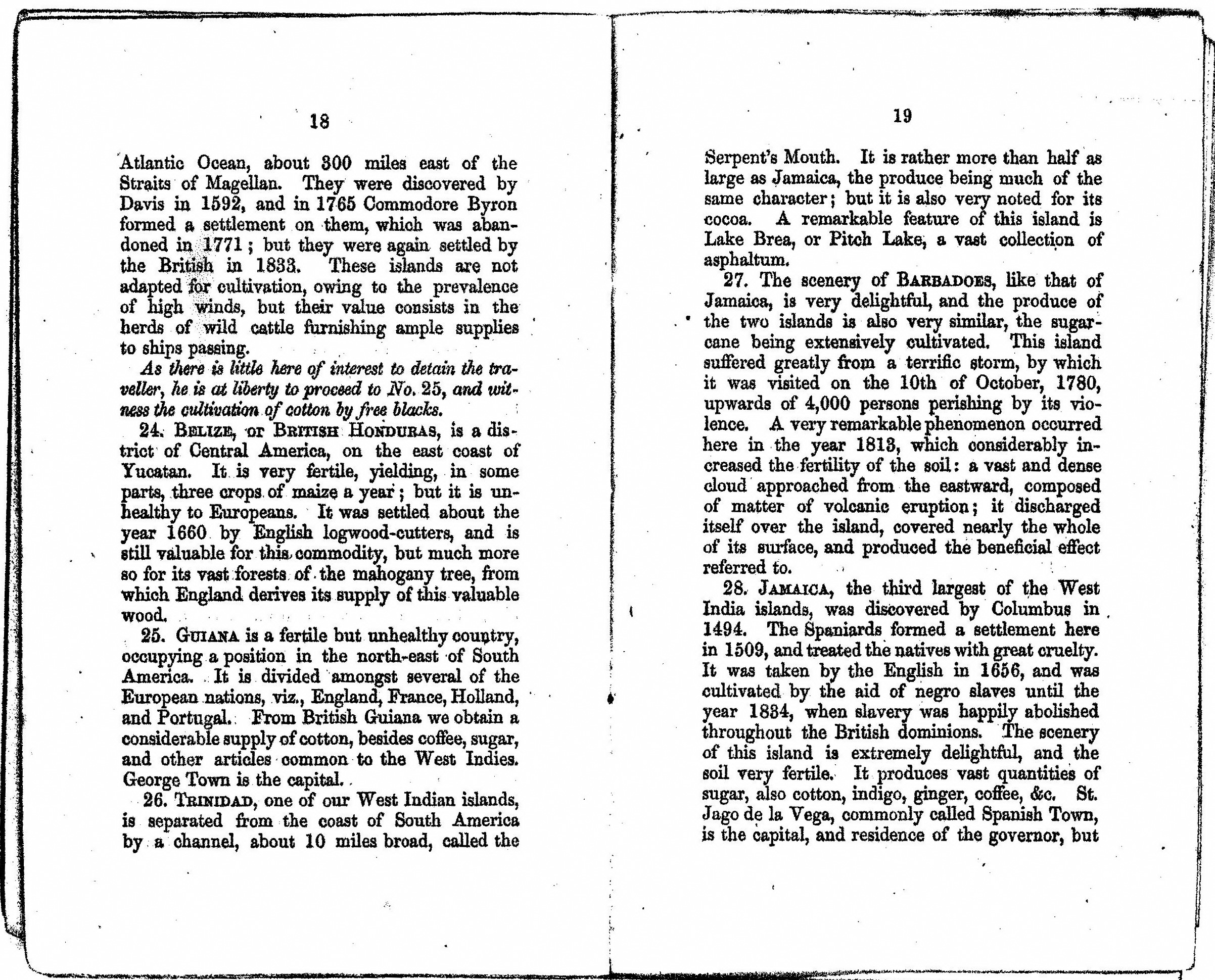
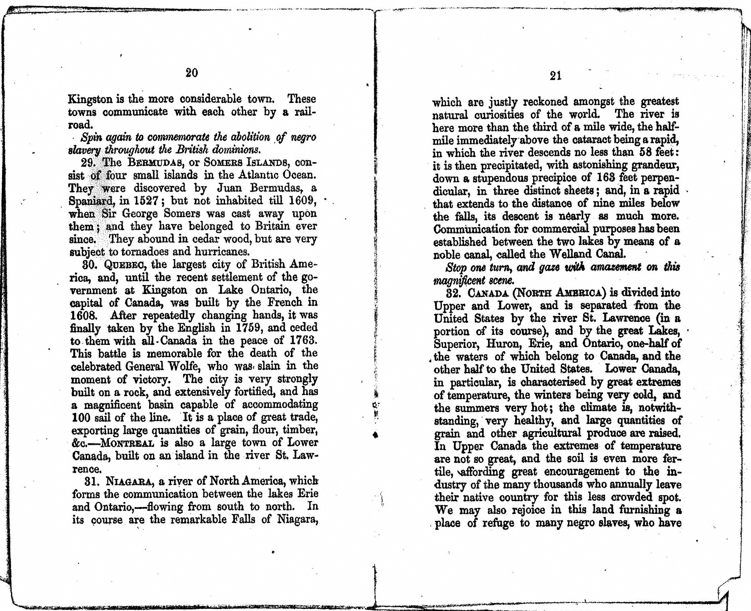
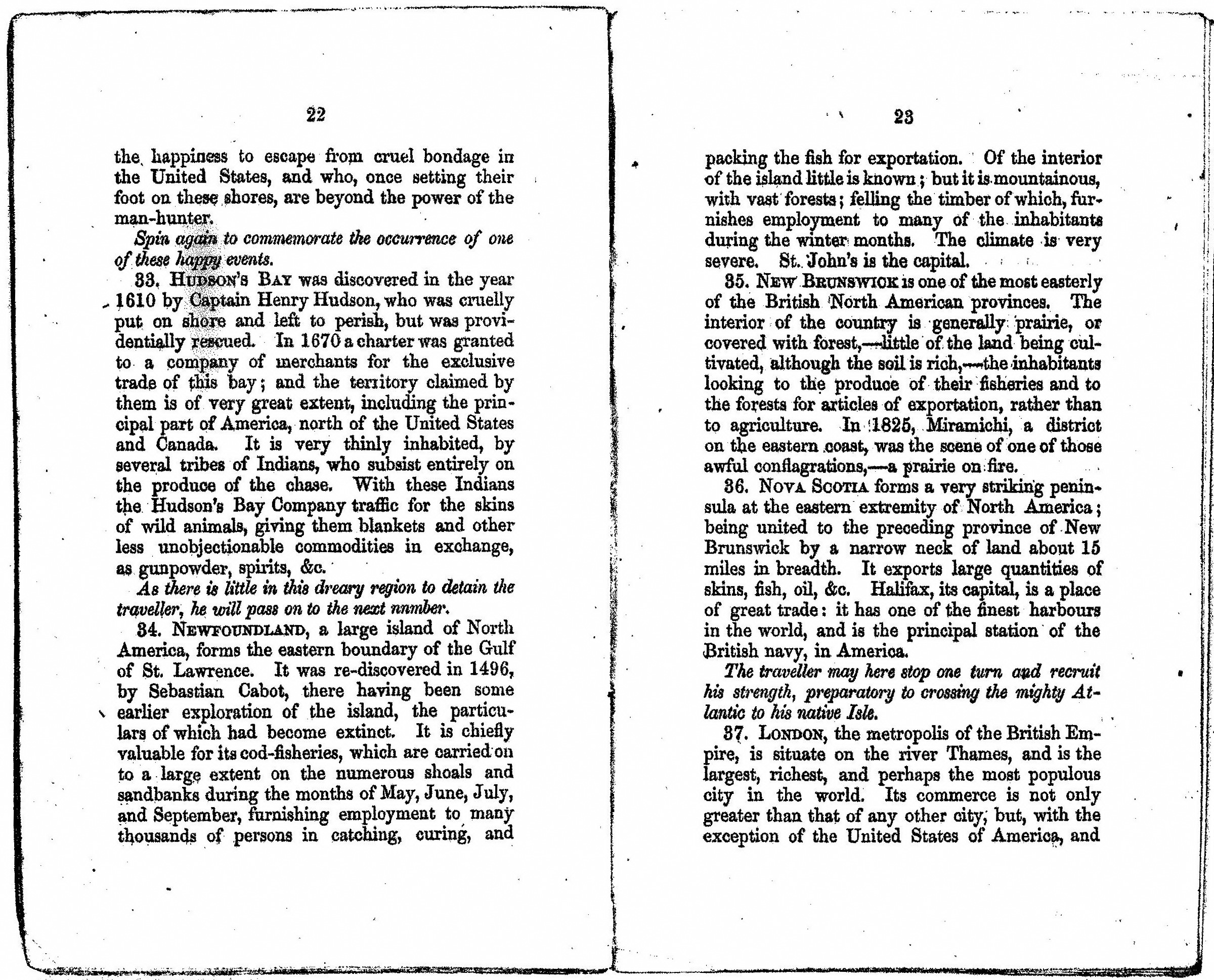
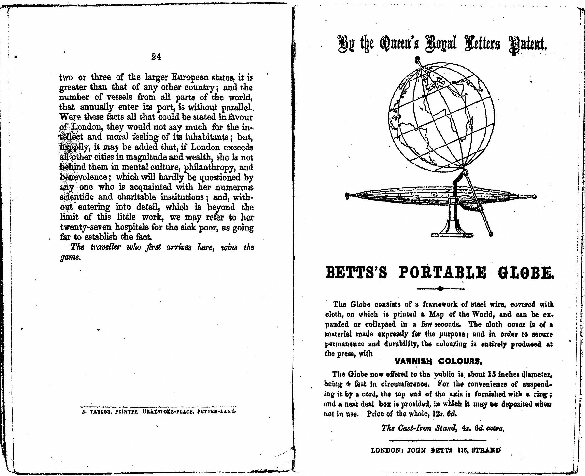
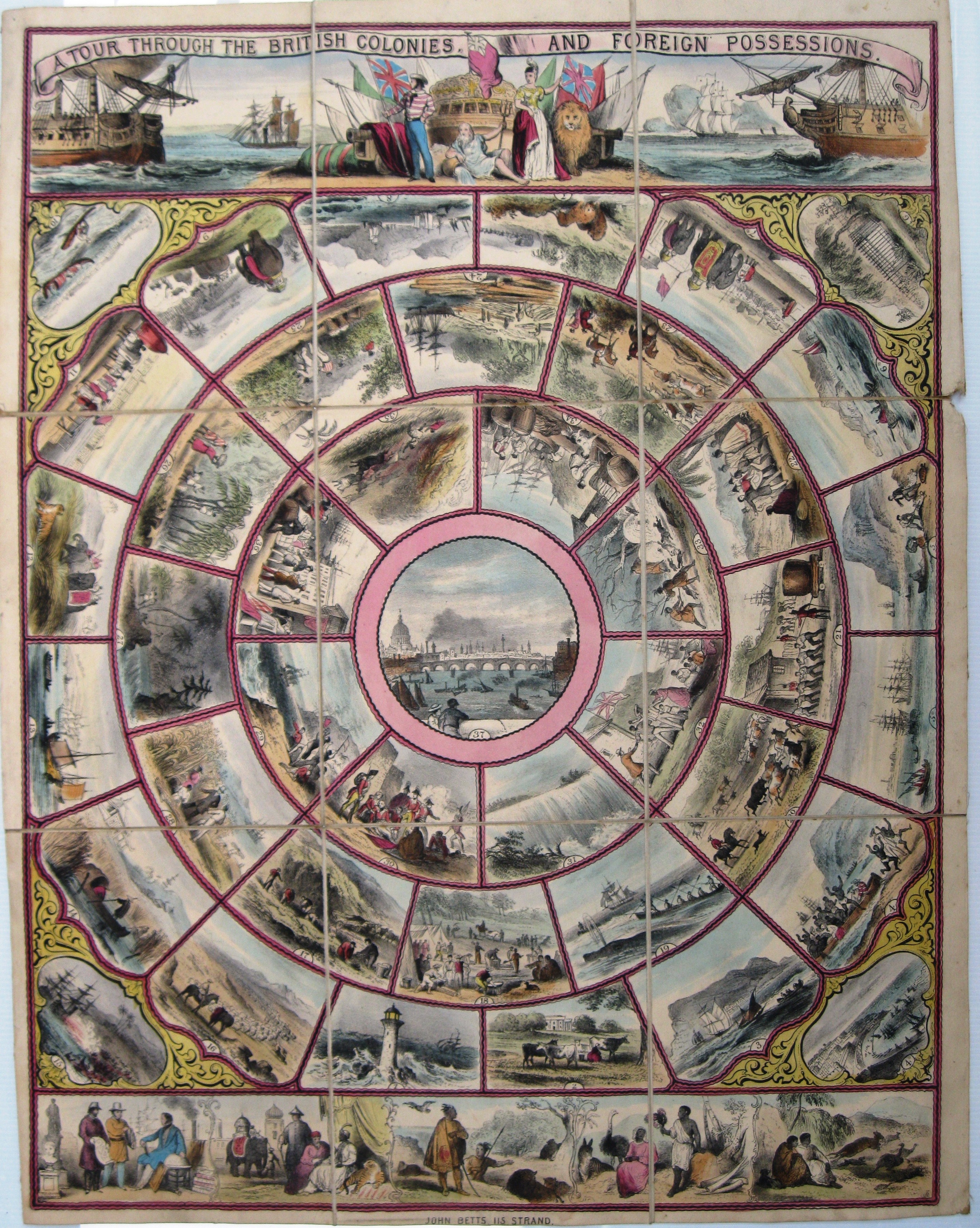
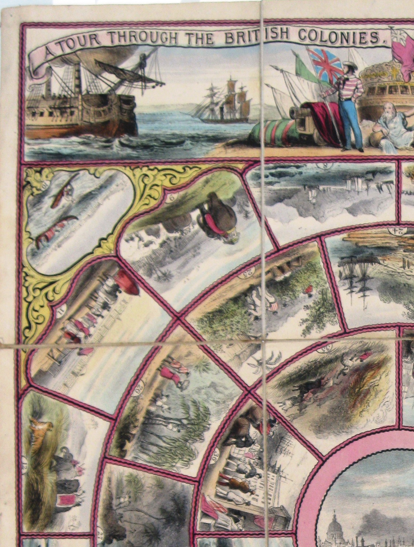
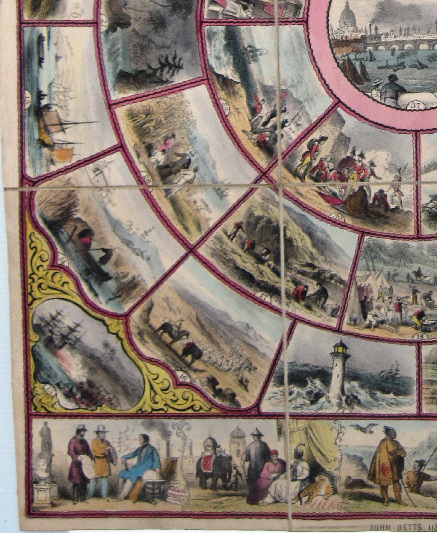
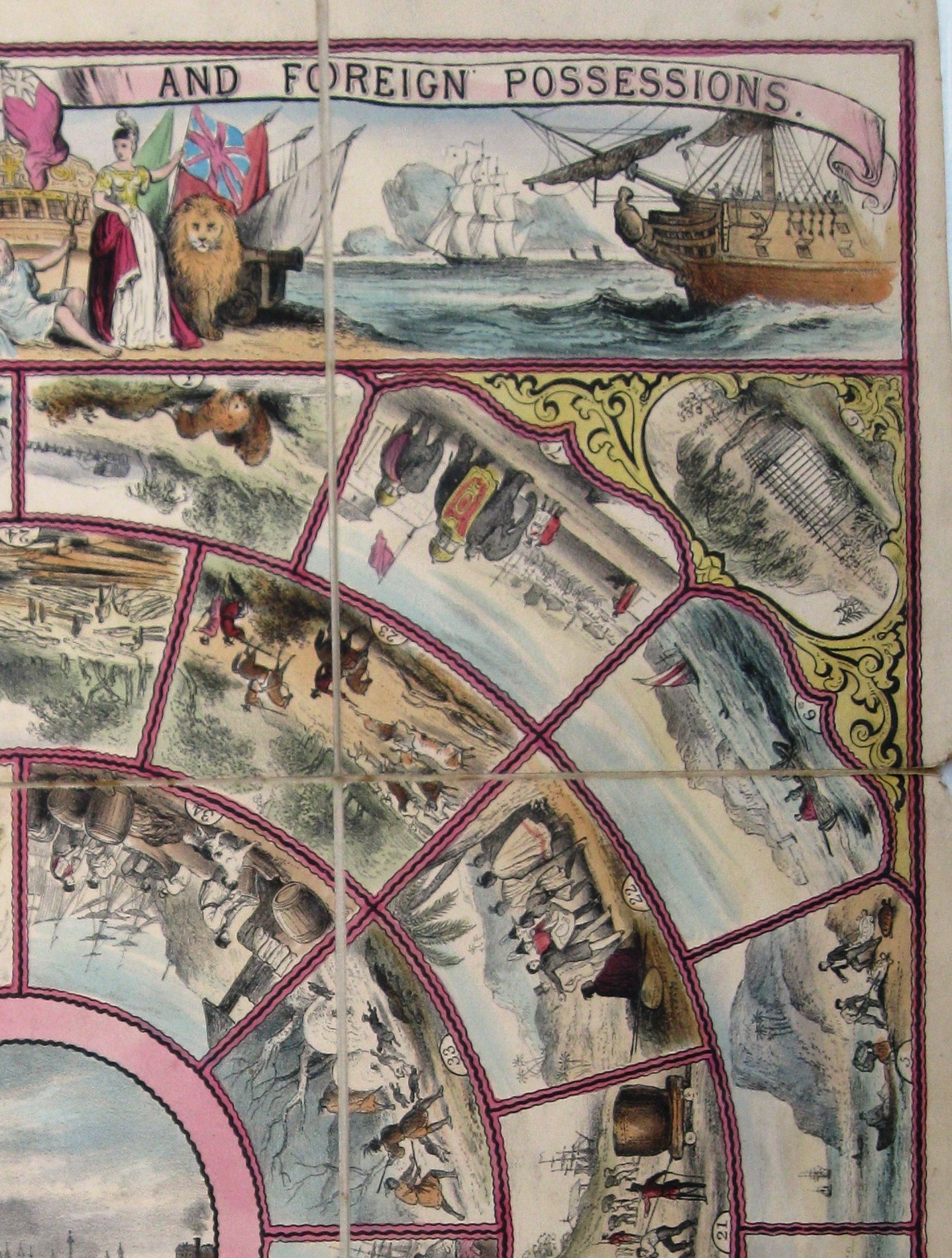
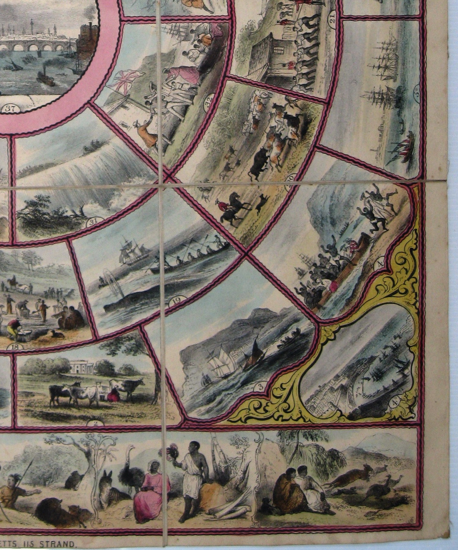
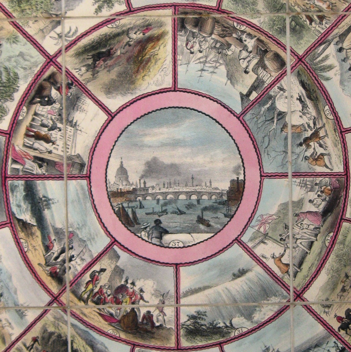
Gioco di 37 caselle numerate, spirale (circolare), antiorario, centripeto. In basso a destra sul gioco e sulla custodia le iniziali dell'autore: "R.B." REGOLE: contenute in libretto. CASELLE: mute. REFERENZA 1 "A Tour through the British Colonies and foreign possessions." (Victoria&Albert Museum) The game has 37 numbered pictures arranged in four circular levels with a full width picture at the top and bottom. Each picture refers to a British colony. The publisher, John Betts, called London the metropolis of the British Empire. Interestingly two routes to India are provided, one overland via Alexandria and other via Sierra Leone and the Cape. It is perhaps surprising to see how well informed and up-to-date some of the comments are--disapproval of the selling of gunpowder and spirits to North American Indians, and the fact that Newfoundland was rediscovered by Sebastian Cabot in 1496. Physical description Design: lithograph, coloured by hand; numbered from lower left corner and moving anti-clockwise.; also shown along top are ships, a sailor and Britannia and along bottom animals, Indians, Africans and others. N°of squares: 41 Squares illustrated: all Square numbering: 1 to 37 Squares titled: none, booklet descriptions Subject of starting square: Heiigoland Subject of ending square: London, England Place of Origin: London Date: ca. 1853 Artist/maker: John Betts Materials and Techniques: Hand-coloured lithograph on linen Dimensions: Length: 62.2 cm; width: 50.2 cm Object history note: John Betts was at the 115 Strand address from 1845 to 1874. Booklet also lists catalogue of maps, atlases, dissected maps and games. Details include industries, income, government , history, inhabitants, animals and flora Historical context note Rewards: forward movement; extra spins Forfeits: backward movement, missing turns No. of Players: any Equipment required: teetotum, markers Rules: RULES AND DIRECTIONS I. Appoint one of the party to preside, whose duty it will be to read the description from the book; which office need not preclude his joining in the game. II The party will then arrange themselves round the table, in the order in which they intend to play; and each is to be provided with a traveller, or marker. Should there be more players than travellers provided, a thimble or small coin will answer the purpose of a marker. III. The first player is now to spin, and to place his traveller at the same number on the game as that turned up by the teetotum; when the description given in the book is to be read aloud. IV. The remaining players are to follow in turn, and spin, and otherwise proceed as directed in Rule III, until it has gone entirely round; when the first is to spin again; and adding the number now turned up to his former number, he is to shift his traveller on the game accordingly. The other players are to proceed in like manner, continuing until one of them arrives at No. 37 ( The British Metropolis), and thus wins the game. V. Any player going beyond No. 37, must return back as many numbers as he has exceeded it. VI. Two more more players may occupy the same number on the game, with detriment to each other. It seems almost needless to say, that the directions to stop or spin again at certain numbers, are to be observed. VII. Any player coming to a number with an asterisk (*) must proceed by the numbers with asterisks so long as they last, which will take them to India by way of the overland route - as Malta, Alexandria, Aden, Bombay. The others will proceed by way of Sierra Leone, Ascension, St. Helena and the Cape. Some but not all the descriptions also have directions for play. Each of the descriptions should be read out during the play by one player, however, sometimes this is changed to each player who lands on a certain place. *John Betts called London the metropolis of the British Empire. Interestingly two routes to India are provided, one overland via Alexandria which is mentioned as being important even though it is not a colony, and other via Sierra Leone and the Cape. It is perhaps surprising to see how well informed and up-to-date some of the comments are - disapproval of the selling of gunpowder and spirits to North American Indians and the fact that Newfoundland was `rediscovered' by Sebastian Cabot in 1496, for example. With the booklet is an extensive catalogue of the other games and amusements issued by Betts. Largely educational and including scriptural puzzles, mathematical, scientific and spelling games as well as a wide range of maps. Rules placement: booklet Descriptive line: Hand coloured board game, A Tour Through the British Colonies, published in England by John Betts about 1850. Guy Little Collection. REFERENZA 2 "Nella maggior parte degli antichi giochi inglesi di geografia, Londra è il punto di partenza e di arrivo dei giocatori. Nel suo gioco "Un giro attraverso le colonie inglesi e i possedimenti stranieri", una litografia dipinta a mano verso il 1850, John Betts considera Londra come la metropoli dell'impero britannico. Le 36 caselle sono istruttive e le loro descrizioni facendo parte del gioco devono essere lette. In maniera interessante sono possibili due strade per l'India, una per terra via Alessandria, descritta come importante anche se non è una colonia e l'altra via Sierra Leone e il Capo. Può essere sorprendente per gli odierni lettori di vedere la ricchezza di alcuni commentari riportati: ad esempio il disaccordo sulla vendita di polvere da sparo e alcool agli Indiani del Nord America o il fatto che Newfoundland è stata "riscoperta" da Sebastiano Caboto nel 1496. Con il libretto si trova un catalogo di altri giochi editati da Betts, tutti educativi. Questi comprendevano dei puzzle con scritte, giochi matematici, scientifici e d'ortografia, così come delle carte." (GOODFELLOW Carolina) REFERENZA 3 "Dans la plupart des anciens jeux de géographie anglais, Londres est le point de départ et le point d'arrivée des joueurs. Dans son jeu "A Tour Through the British Colonies and Foreign Possessions (A travers les colonies anglaises et les possessions étrangères), une lithographie peinte à la main éditée vers 1850, John Betts considère Londres comme la métropole de l'empire britannique. Les 36 cases sont instructives et leurs descriptions, faisant partie du jeu, doivent etre lues. De façon intéressante, deux routes pour l'Inde sont possibles, une par terre via Alexandrie, décrite comme importante meme si elle n'est pas une colonie et l'autre par la Sierra Leone et Le Cap. Il peut etre surprenant pour les lecteurs d'aujourd'hui de voir la richesse de certains des commentaires mis à jour: par example le désaccord sur la vente de poudre à canon et d'alcool aux Indiens d'Amerique du Nord, ou le fait que Newfoundland a été "redécouverte" par Sebastian Cabot en 1496. Avec le livret se trouve un catalogue d'autres jeux édités par Betts, tous éducatifs. Ceux-ci comprenaient des puzzles scripturaux, des jeux mathématiques, scientifiques et d'orthographe, ainsi que des cartes." (GOODFELLOW Caroline) REFERENZA 4 "In many of the older geographical game, London is the centre from which the players leave or ti which they return. In his game "A Tour Through the British Colonies and Foreign Possessions", a hand-coloured lithograph published in about 1850, John Betts calls London the metropolis of the British Empire. The other 36 stops are well documented in a rules booklet, and their descriptions, as part of the game, must be read out. Interestingly two routes to India are provided, one overland via Alexandria, which is mentioned as being important even though it is not a colony, and the other via Sierre Leone and the Cape. It is perhaps surprising to presentday readers to see how well informed and up-to-date some of the comments are-disapproval of the selling of gunpowder and spirits to North American Indians and the fact that Newfoundland was "rediscovered" by Sebastian Cabot in 1496, for example. With the booklet in an extensive catalogue of the other game and amusement issued by Betts. These were largely educational and included scrptural puzzles, mathematical, scientific and spelling games as well as a wide range of maps." (GOODFELLOW Caroline) REFERENZA 5 "A Tour Through the British Colonies and Foreign Possessions" - "Eine Tour durch die britischen Kolonien und die auswaertigen Besitztuemer". London, um 1853 Lithografie, handkoloriert, 64X48 cm Verlag, Druck: John Betts, London Die Vermehrung des geografischen und historischen Wissens fuer junge und fuer erwachsene Menschen, also Volksbildung im ganz klassischen Sinn, war politisches Anliegen wie Geschaeftsgrundlage des liberalen Londoner Verlegers John Betts, bekannt fuer Landkar ten und didaktische Spiele aller Art (vgl. Spiel 41). Ganz am Ende der Broschuere zu A Tour Through the British Colonies, als der Reisende auf Seite 24 endlich am Ziel in London angekommen ist, bietet Betts begeistert etwas Neues an: einen "tragbaren Globus", neu patentiert der wie ein Lampion "in wenigen Sekunden ent- und zusammengefaltet werden kann. Es ist nicht klat ob der tragbare Globus ein grosser verlegerischer Erfolg war oder nicht, in A Tour Through the British Colonies and Foreign Possessions ist die Welt jedenfalls noch flach wie in fast allen Brettspielen: Die Reise beginnt seltsamerweise in Helgoland, zwei Routen - eine ueber den Atlantik, die andere auf dem Landweg - sind anfangs moeglich, sie treffen auf Mauritius wieder zusammen. Wie vielen anderen geografischen Spielen der Zeit (vgl. Spiel 19) ist dem Spiel eine ausfuehrliche Broschuere beigelegt, aus der Zug um Zug vorgelesen werden sollte. Auf den ersten Blick scheint das Spiel ein koloniales Produkt, eine Feierstunde der Grosse und Pracht des Empire, wenn es etwa bei der Beschreibung Londons heisst, dass es sich nicht nur um die groesste und reichste Stadt der Welt" handle, sondern die Bevoelkerung unerreicht sei, was "Grosszuegigkeit und Wohlstand, geistige Kultur, Philanthropie und Mildtaetigkeit" betreffe. Bei genauerem Lesen und Hinsehen kann man die ironischen Brechungen in vielen Beschreibungen erkennen und dass ein ernstes, humanistisches Anliegen via Spiel transportiert wird: die Sklaverei und die gewalttaetigen Folgen des Kolonialismus (siehe auch Spiel 50). Auf Feld 15 wird das Massaker an Einheimischen in Borneo beklagt, das Bild auf Feld 4 (Sierra Leone) zeigt die Flucht von gekidnappten Sklaven, die ausfuehrlich kommentiert wird. Auf anderen Feldern wird das Thema der Abschaffung der Sklaverei persuasiv geschickt mit der Spielmechanik verknuepft: Sowohl Jamaika (28, Befreiung) wie Kanada (32, Fluchtort fuer entflohene Sklaven) sind Orte des Gluecks. Man darf in Gedenken an die Abschaffung der Sklaverei gleich nochmals wuerfeln. Spielregeln (...) Gespielt wird mit einem Wuerfel (Kreisel), (...) der Reisende, der zuerst auf Feld 37 (London) ankommt, gewinnt das Spiel. Das Ziel muss mit der exakten Punkteanzahl erreicht werden. Wirft ein Spieler ueber das Ziel hinaus, muss er die Punkteanzahl zurueckgehen. Zwei Spieler koennen auf einem Feld stehen, ohne dass sie zu Schaden kommen. Es ist fast ueberfluessig zu erwaehnen, dass die Anweisungen auf den Feldern beachtet werden muessen. Wer auf ein Feld mit einem Stern (*) kommt, muss den Sternen, so lange sie angezeigt werden, auf dem Landweg nach lndien folgen: ueber Malta (4*), Alexandria (5*), Aden (6*), Bombay (7*). Die anderen setzen ihren Weg ueber Sierra Leone (4), Ascension (5), St. Helena (6) und das Kap der Guten Hoffnung (7) fort. Felder (Auszug) 1 Helgoland. 2 Die Kanal-lnseln, 3 Gibraltar. Der Spieler setzt eine Runde aus (...) und alle Reisenden, die bei Gibraltar anlangen, werden ueber das Mittelmeer und die Ueberlandroute, die mit dern Stern (*) gekennzeichnet ist, nach lndien vorruecken. 4* Malta, 4 Sierra Leone. 5* Alexandria. 5 Ascension 6* Abreise von Alexandria nach Aden. Setze eine Runde aus. 6. St. Helena. 7* Bombay. 7 Kap der Guten Hoffnung. Setze eine Runde aus. 8 Mauritius. 9 Ceylon, 10 Madras. 11 Calcutta. Wuerfle noch 1 x. 12 Die bekanntesten Wildtiere von Bengalen sind der Elefant und der Tiger (...). Da der Reisende dieses Gebiet nicht mehr ein weiteres Mal besuchen duerfte, kann er eine Runde aussetzen, um Zeuge dieser spannenden Szenen zu werden. 13 Malacca. 14 Hong Kong. 15 Sarawak. 16 West-Australien. 17 Adelaide. 18 Melbourne. Eine Runde aussetzen. 19 Van Diemenss Land oder Tasmanien. 20 Sydney. 21 Norfolk lsland. Setze zwei Runden aus. 22 Auf einem Kurs etwas suedoestlich der Norfolk lnseln kommen wir in Neuseeland an; die Strecke zum naechstgelegenen Punkt der noerdlichen lnsel, New Ulster, betraegt ungefaehr 500 Meilen. 23 Wir verlassen Neuseeland, wir haben noch eine lange Reise vor uns (...) bis zu den Falkland Inseln. (...) Da hier nur wenig lnteresse vorhanden ist, den Reisenden an sich zu binden, so darf er bis Feld 25 vorruecken und wird Zeuge des Baumwollanbaus von freien Schwarzen. 24 Belize oder British Honduras. 25 Guyana. 26 Trinidad. 27 Die Landschaft von Barbados ist wie die Jamaikas besonders reizvoll und die Produkte der beiden lnseln sind aehnlich, Zuckerrohr wird extensiv angebaut. 28 Jamaika. Noah einmal wuerfeln, um der Abschaffung der Negersklaverei in den Britischen Gebieten zu gedenken. 29 Die Bermudas oder Somers Islands. 30 Quebec. 31 Niagara. Setze eine Runde aus. 32 Kanada. Ein Fluchtort fuer viele Negersklaven, denen gluecklicher Weise die Flucht aus der grausamen Gefangenschaft in den USA gelungen ist. (...) Wuerfle noch einmal, um dieses freudigen Ereignisses zu gedenken. 33 Hudson Bay. Zur naechsten Zahl vorruecken. 34 Neufundland. 35 New Brunswick. 36 Nova Scotia. Der Reisende setzt eine Runde aus und erholt sich, in Vorbereitung auf die Ueberquerung des gewaltigen Atlantiks in Richtung Heimatinsel. 37 London. (Ernst Strouhal) REFERENZA 6 Game 45: "Tour through the British Colonies" A Tour through the British Colonies and Foreign Possessions. London: John Betts, 115 Strand, (nearly opposite Exeter Hall), [c. 1855]. Lithograph with original hand color, 64 x 48 cm., dissected and laid onto linen in 3 x 3 panels. Ref.: Ciompi/Seville 1279. John Betts (1803?-1889) was a bookseller, publisher, producer of games and puzzles, globe-maker and stationer. He trained under John Darton Jr. and was at The Strand address from 1845 to 1874. His background was that of a Quaker and this influence may be seen in the present game. The game is of 37 spaces, the final one being the British Metropolis, i.e., London. Certain of the numbers are duplicated, one of the corresponding spaces being marked with an asterisk. These provide alternative routes to India, via Malta, Alexandria, Aden, Bombay (the overland route), while the sea route is via Sierra Leone, Ascension, St. Helena and the Cape. A Tour through the British Colonies seems jingoistic: the banner at the top shows the British Lion, naval warships bristling with cannon, two Union Flags held by a British sailor, and a Britannia figure, flanking Neptune with trident; all show that Britain rules the waves. However, when the booklet is consulted, the message becomes more nuanced. The abolition of slavery is particularly noticed: Space 4: Sierra Leone is a settlement formed by the British nation, with the philanthropic object of promoting African civilisation. The climate is however signally fatal to the white man, but the colony is now increasing in population and prosperity, being from time to time augmented by the cargoes of captured slave ships, the kidnapped negroes being here set at liberty. At Foura Bay there is a large institution for the education of African youth. The vignette shows liberated slaves raising their hands in joy as they run ashore. Whether they would then enjoy living in the embryo settlement at Sierra Leone is not mentioned. Space 28: Jamaica ... was cultivated with the aid of negro slaves until 1834, when slavery was happily abolished throughout the British dominions. Spin again to commemorate the abolition of slavery Space 32: Canada: We may rejoice in this land furnishing a place of refuge to so many negro slaves who have the happiness to escape from cruel bondage in the United States and who, once setting their foot on these shores, are beyond the power of the man-hunter. Spin again to commemorate these happy events. Some of the excesses of the exercise of force by the British colonialists are condemned: Space 15: Sarawak, a district on the island of Borneo ... first visited by Sir James Brook[e] in 1839 [who] has gained an unenviable notoriety by the massacre [in 1851] of 1000 to 2000 natives, condemned as pirates but without sufficient proof. A Royal Commission in 1854 found the charges against Brooke unproven. The vignette, in the lower left corner, shows his ships firing on the natives from a safe distance. There is indeed other evidence of a high moral tone: Space 37: London is the largest, richest and most populous city in the world. Its commerce is greater than that of any other city and the number of vessels that enter its port is without parallel ... Were these facts all that could be stated in favour of London, they would not say much for the intellect and moral feeling of the inhabitants but happily London is not behind [other cities] in mental culture, philanthropy and benevolence ... Beside these deeper messages there will be found a genuine desire to inform about the geography of the various countries in a straightforward but interesting way. Betts, this games publisher, was elected as a Fellow of the Royal Geographical Society in 1859 and held a number of patents relating to globes and the printing of maps. (Adrian Seville) Exhibitions: - "The Royal Game of the Goose four hundred years of printed Board Games". Exhibition at the Grolier Club, February 23 - May 14, 2016 (Prof. Adrian Seville). |
|
| bibliografia: |
1) GOODFELLOW, Caroline: "Jeux de société. Le guide du collectionneur des jeux de société depuis le XVIIIe siècle jusquà nos jours", (Edizione francese) Carrousel MS, 2001. 2) GOODFELLOW, Caroline: "A Collector's Guide to Games and Puzzles" Secaucus, New Jersey, Chartwell Books-London, Quintet Publishing Limited 1991. 3) GOODFELLOW, Caroline: "The Development of the English Board Game, 1770-1850", in Board Games Studies 1, 1998. 4) STROUHAL, Ernst: "Die Welt im Spiel. Atlas der spielbaren Landkarten. Christian Brandstaetter Verlag. Universitat fur Angewandte Kunst, Wien. 2015 5) SEVILLE, Adrian: "The Royal Game of the Goose four hundred years of printed Board Games". Catalogue of an Exhibition at the Grolier Club, February 23 - May 14, 2016. |
|
| "The Development of the English Board Game, 1770-1850" (Caroline G. Goodfellow) | ||
Vai alla ricerca giochi Vai all'elenco autori